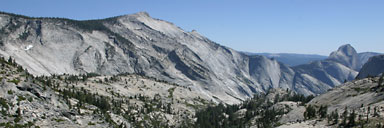
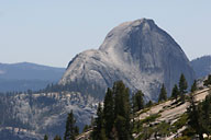
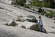
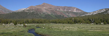
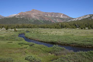
Beyond Tenaya Lake are several more impressive granite domes, before the road enters Tuolomne Meadows. Right as you reach the meadows there is a huge piece of granite, basically a small hill dramatically posed on the edge of the meadow. Then fascinating green meadows with dead tree trunks everywhere, and red hills in the background, before a steep, rocky exit of the mountains.
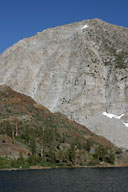
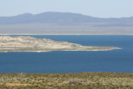
The road eventually dumps you out on a small highway running along the western edge of Mono Lake. The lake is readily visible from a short period before you meet the highway, but I couldn't really find a place along the road to get good photos of the lake; I got a few photos right before hitting the highway, but photos from a higher vantage point would have probably been much better. We turned north to the very close-by Lee Vining, where we stayed for the night. (No phones! Thus no Internet! I was lost.) Having found a place to stay, we headed out for dinner. We were both very hungry, and Steve would only let me stop a few times for photos in the late afternoon light. The restaurant we were targeting was much further away than we had been told, but it was very good.
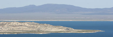
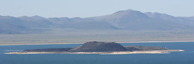
The next morning we got up very early (for us) to get photos of the tufa towers in the early sunrise. We didn't get there as early as would have been ideal, but we still got some good photos, and the tufa structures are fascinating. Most photos I've seen of Mono Lake have focused on the tufa towers, and I hadn't really realized beforehand, but there are just a few main tufa beds on a wide lake in the middle of some very stark scenery, rather than being overrun by tufa towers.

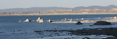

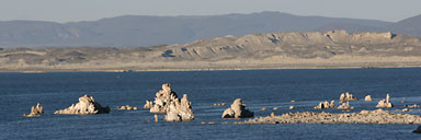
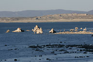
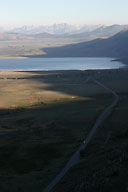
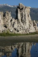
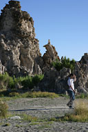
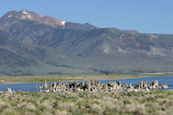
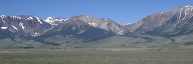
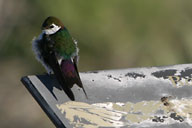
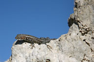
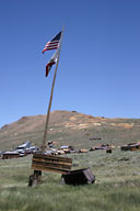
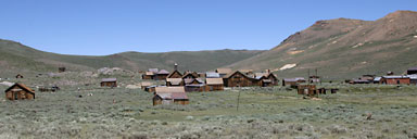
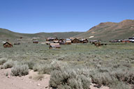
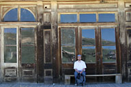
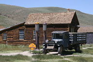
After leaving the tufa bed and doing a little bit of exploring in the area, we headed north to Bodie, an old ghost town. The effect is diminished a bit a bit by the fact that there were a good number of people wandering around (and this was mid-week), but it was still an interesting stop with some really intriguing old structures.
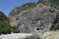
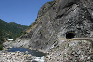
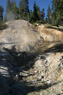
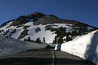
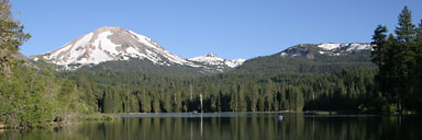
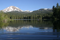
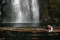
Leaving Bodie we headed north again, into Nevada so that we could say we had been there. However, we didn't visit anything in Nevada, just cut back west and drove up the California side of Lake Tahoe. We then continued on the scenic route north. The next day we drove through the old, historic tunnels pictured below, then on through Lassen Volcanic National Park, stopping to get a glimpse of steam rising from the ground and smell the sulfuric air. From there, west to Redding for the night. On the way, we stopped for photos of the mountain you see below. I walked out into the shallow lake to take the photos and carelessly tried to stand on a submerged tree trunk; it wes very slippery and I cut my foot trying to keep my balance. Hence the ripples in the photo of the lake below. (But fortunately I kept the camera from getting wet.)
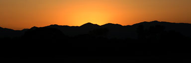
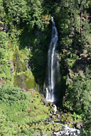
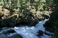
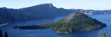
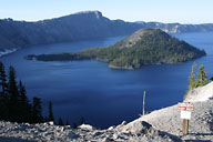
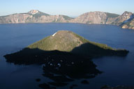
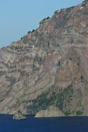
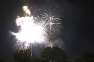
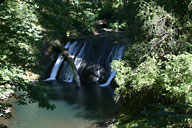
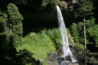
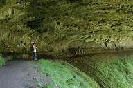
The next day was Friday, the 4th of July. We headed north to Crater Lake. We stopped at one point to take a break from driving, where we saw the waterfalls below. And we made another stop to explore a trail showing the lava tube pictured below. Then we reached Crater Lake, this time with no snow, unlike last year where we couldn't drive around the lake because of the snow. We drove along the western rim of the lake, then exited to the north and west. We reached Roseburg late in the evening, in time to catch the end of their fireworks show. (The photo below is the the only photo I managed to take before the show ended.) After checking into a hotel, we went looking for food, and in the course of this discovered that we had stopped in Roseburg on the trip south, and even eaten at the same restaurant, but hadn't realized it earlier.
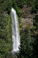
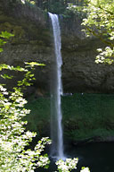
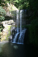
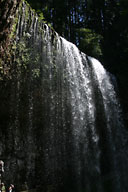
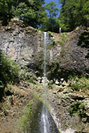
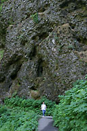
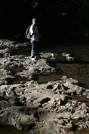
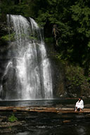
On Saturday we hit Silver Falls State Park, which Kurt had told us about, and hiked the seven mile trail showcasing eleven waterfalls, several of which were quite impressive. That evening we stayed at a hotel relatively close to Mt. Rainier in preparation for visiting it the next day.
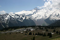
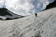
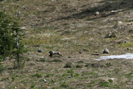
The final day of our road trip we went to the Sunrise Point area of Mt. Rainier National Park. We hiked along the trails to the north and west of the visitor center. There were still some large pockets of snow on parts of the trail, as you can see. And we saw several marmots. Finally, back to Seattle.
